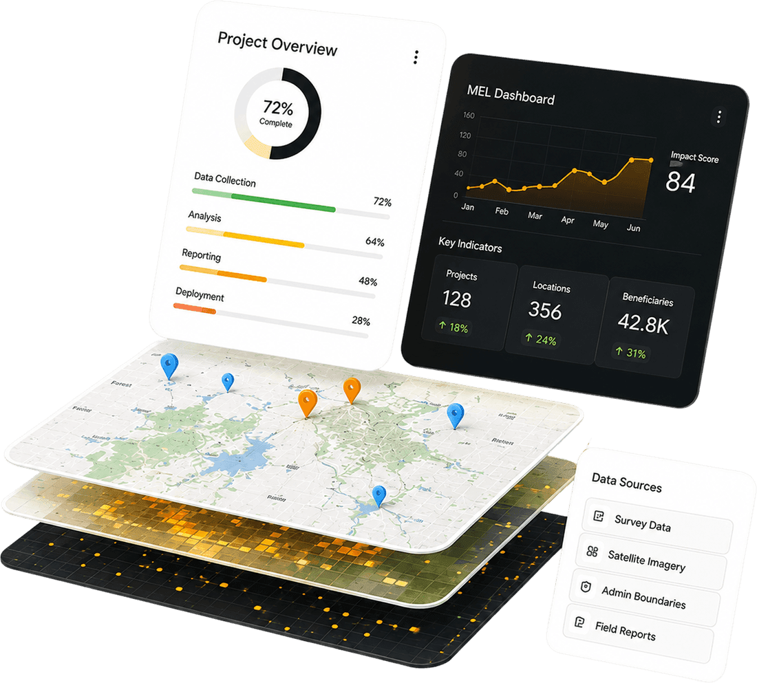
Geographic Information System
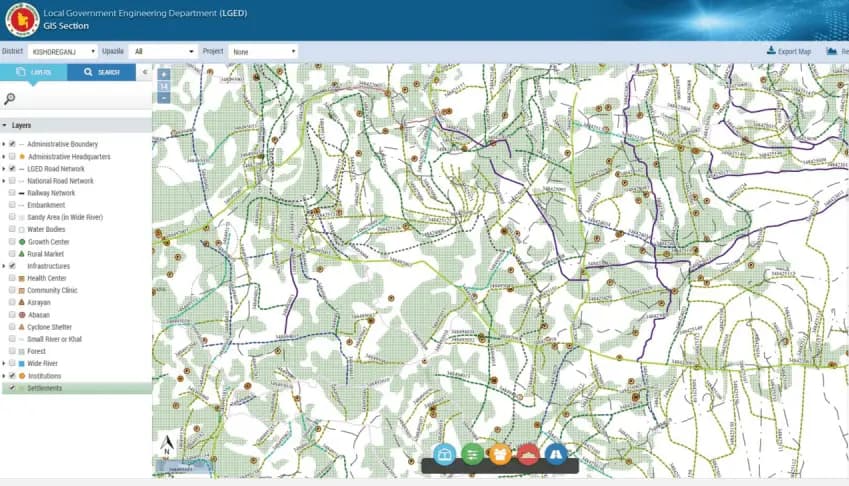
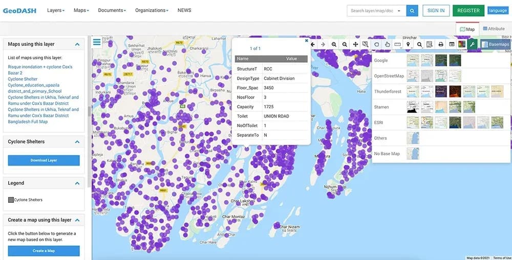
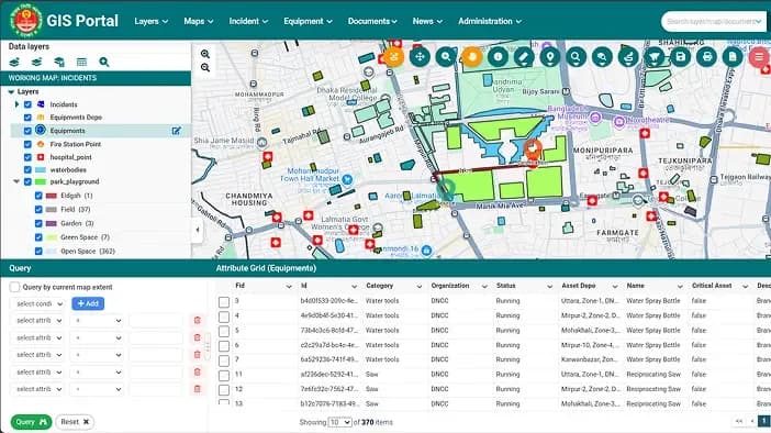
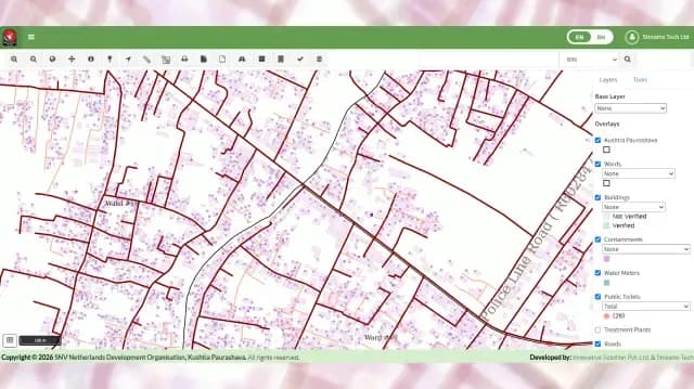
Custom GIS applications, PostGIS & GeoServer backends, Leaflet and Mapbox frontends, offline-first field tools, satellite imagery analysis, and ArcGIS / QGIS integration. From national-scale government platforms to satellite monitoring systems.
View Details →Monitoring, Evaluation & Learning
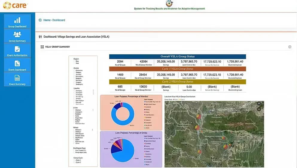
End-to-end MEL platforms - offline-first mobile data collection, beneficiary tracking, indicator dashboards, and donor-aligned reporting. Deployed for BRAC International across 7 African countries, serving 1M+ beneficiaries.
View Details →Team Augmentation
Senior engineers embedded in your team on demand - GIS specialists, .NET, Angular, Python, and React developers, QA, DevOps, and PMs. Fast onboarding, full NDA, and the kind of reliability that earns multi-year engagements with global clients.
View Details →Business Intelligence
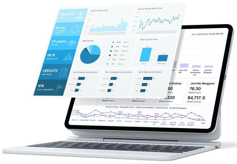
Power BI, Apache Superset, and custom dashboards. Data pipelines and KPI reporting for government, NGO, and commercial clients.
View Details →Enterprise App Dev
Full-stack .NET Core, Python, and Node.js backends with Angular and React frontends. Built for complexity and multi-user enterprise environments.
View Details →Cloud Solutions
AWS-hosted GIS and MEL platforms, cloud-native architecture, legacy modernisation, and scalable DevOps pipelines for data-heavy workloads.
View Details →AI & Machine Learning
Applied ML for spatial analysis, satellite change detection, MEL data intelligence, and predictive analytics - grounded in real deployments, not generic claims.
View Details →Environmental Intelligence
SWMM-based stormwater modelling, flood risk, water quality, and climate resilience platforms. Proprietary GeoSWMM product for municipalities and engineering firms.
View Details →










.webp&w=3840&q=75)
.jpg&w=3840&q=75)

















.png&w=3840&q=90)







































.png&w=3840&q=75)