
URP GIS - Urban Resilience & Emergency Management Platform
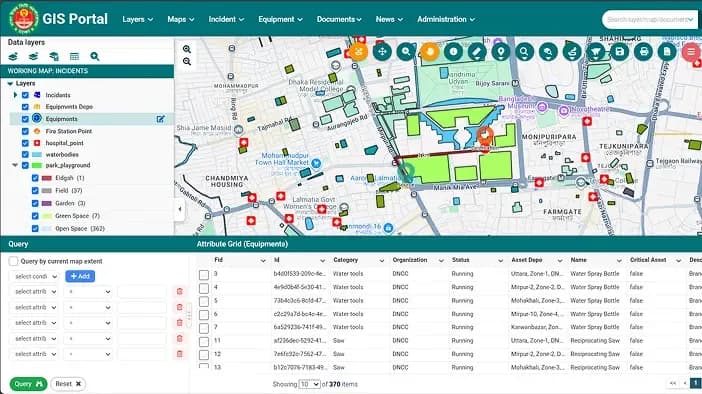
URP GIS enhances urban resilience with real-time mapping, incident management, and infrastructure oversight, enabling faster decisions, optimized resources, and improved public safety.

Our Success Stories

URP GIS enhances urban resilience with real-time mapping, incident management, and infrastructure oversight, enabling faster decisions, optimized resources, and improved public safety.

Built and deployed BInsight - a GIS-enabled M&E platform for BRAC International's AIM programme, funded by the Mastercard Foundation. Serves 1M+ adolescent girls across Uganda, Tanzania, Liberia, Sierra Leone, Rwanda, Ghana, and Kenya. Offline-first mobile data collection, PostGIS backend, role-based dashboards for field teams, managers, and donors.
-1.jpg&w=3840&q=75)
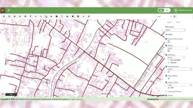
Built and deployed IMIS - a hybrid web and mobile platform for municipal service delivery and sanitation governance, originally supported by the Bill & Melinda Gates Foundation. Serves 12+ municipalities across Bangladesh. GIS-based asset mapping, digital billing and payments, citizen portal, and centralized dashboards for municipal teams and oversight bodies.
%2520(1).jpg&w=3840&q=75)
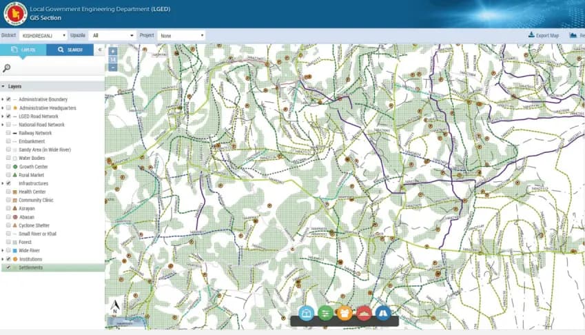
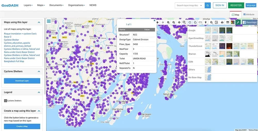
Built and deployed a nationwide web-based GIS decision-support platform for LGED, Bangladesh's largest government engineering agency. Replacing static maps and disconnected desktop tools, it delivers 40+ GIS layers, dynamic road analysis, duplicate detection, inventory reporting, and population insights within 3.5 months, on budget.

GIS/GPS-based M&E system for PKSF. Built for Bangladesh’s Rural WASH program. Real-time geo-tagged monitoring nationwide. Driving transparent, data-driven WASH impact.

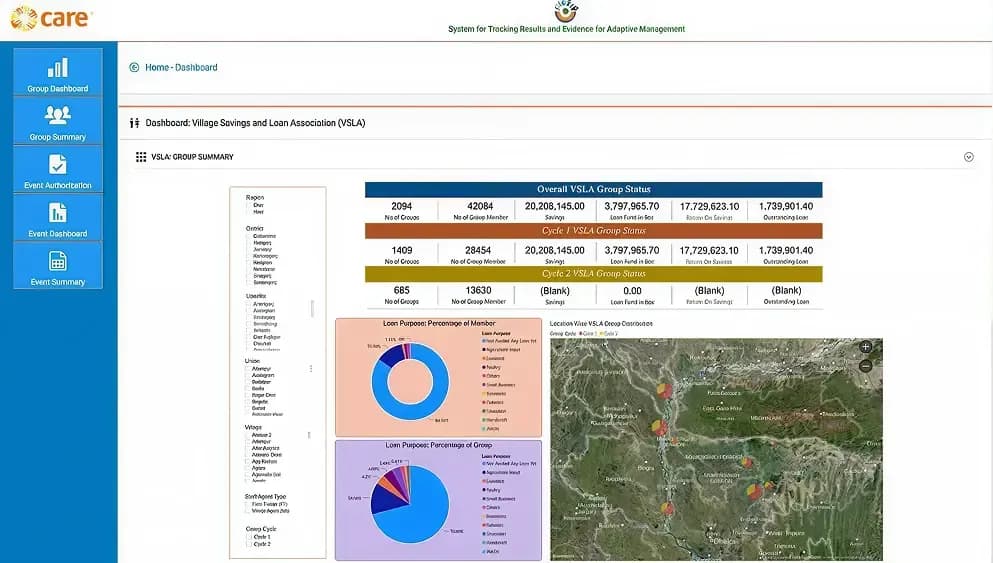
STREAM is a monitoring & evaluation system for CARE Bangladesh, HKI, and WVI, enabling offline data collection, GIS analysis, real-time tracking, and secure cash transfers.

Streams Tech, with FMC and Associates, developed Freetown, Sierra Leone’s Stormwater Drainage Master Plan using GIS and modeling to reduce floods and improve infrastructure.

The Four Mile Run program uses an advanced SWMM-based digital twin to manage flooding, assess development impacts, and guide sustainable urban planning in one of Virginia’s most urbanized watersheds

Streams Tech developed TMDLs for 14 impaired Mattaponi River streams, using GIS, HSPF modeling, and data analysis to quantify bacteria loads, propose reduction scenarios, and ensure compliance with water quality standards.